|
 |
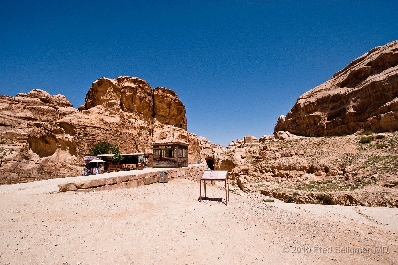
| 22 | The area was visited by flash floods which were controlled by a system of dams, cisterns, and water conduits. A conduit is seen here |
| Photographer: FRED SELIGMAN MD | Camera: NIKON D3 | Date: 4/12/10 11:42 AM | ISO: 400 | Exp. Time: 1/800s | Aperture: 14.0 | Focal Length: 14.0mm (~14.0mm) | Flash: No | Latitude: N 30°19'18.58" | Longitude: E 35°27'40.52" | Altitude: 991 metres | GPS time: 8:41:50 UTC | Copyright: © 2010 Fred Seligman MD | See map |
| Total images: 91 | Last update: 7/26/10 1:15 PM | HomePage | Fred Seligman's website | Help |